
Thompson topographic map
Interactive map
Click on the map to display elevation.
About this map
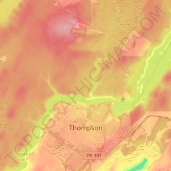
Name: Thompson topographic map, elevation, terrain.
Location: Thompson, Manitoba, Canada (55.72571 -97.89803 55.79495 -97.79272)
Average elevation: 208 m
Minimum elevation: 137 m
Maximum elevation: 243 m