
Tantacoto topographic map
Interactive map
Click on the map to display elevation.
About this map
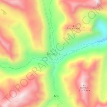
Name: Tantacoto topographic map, elevation, terrain.
Location: Tantacoto, Marías, Dos de Mayo, Huánuco, Peru (-9.62599 -76.52009 -9.58599 -76.48009)
Average elevation: 4,047 m
Minimum elevation: 3,608 m
Maximum elevation: 4,409 m