
Thank you for supporting this site ❤️
Make a donation
Make a donation
Mankot topographic map
Click on the map to display elevation.
Thank you for supporting this site ❤️
Make a donation
Make a donation
About this map
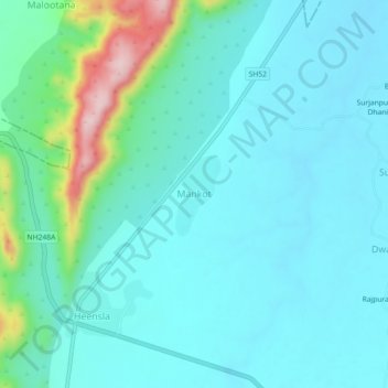
Name: Mankot topographic map, elevation, terrain.
Location: Mankot, Thanagazi Tehsil, Alwar, Rajasthan, India (27.41838 76.24589 27.45838 76.28589)
Average elevation: 441 m
Minimum elevation: 391 m
Maximum elevation: 671 m
Thank you for supporting this site ❤️
Make a donation
Make a donation