
Thank you for supporting this site ❤️
Make a donation
Make a donation
Foel topographic map
Click on the map to display elevation.
Thank you for supporting this site ❤️
Make a donation
Make a donation
About this map
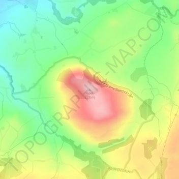
Name: Foel topographic map, elevation, terrain.
Location: Foel, Clynnog, Gwynedd, Wales, LL54 5EU, United Kingdom (53.03091 -4.31272 53.03101 -4.31262)
Average elevation: 105 m
Minimum elevation: 17 m
Maximum elevation: 220 m
Thank you for supporting this site ❤️
Make a donation
Make a donation