
Palmer Road topographic map
Interactive map
Click on the map to display elevation.
About this map
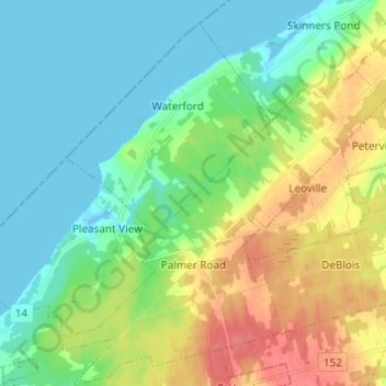
Name: Palmer Road topographic map, elevation, terrain.
Location: Palmer Road, Prince County, Prince Edward Island, Canada (46.88654 -64.19993 46.96961 -64.08063)
Average elevation: 20 m
Minimum elevation: -4 m
Maximum elevation: 57 m