
Thank you for supporting this site ❤️
Make a donation
Make a donation
Sky Pilot topographic map
Click on the map to display elevation.
Thank you for supporting this site ❤️
Make a donation
Make a donation
About this map
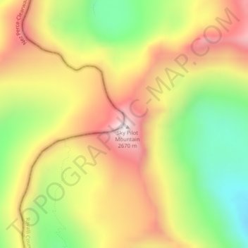
Name: Sky Pilot topographic map, elevation, terrain.
Location: Sky Pilot, Ravalli County, Montana, United States (46.43682 -114.36849 46.43692 -114.36839)
Average elevation: 2,281 m
Minimum elevation: 1,869 m
Maximum elevation: 2,675 m
Thank you for supporting this site ❤️
Make a donation
Make a donation
Other topographic maps
Click on a map to view its topography, its elevation and its terrain.