
Planajeur topographic map
Interactive map
Click on the map to display elevation.
About this map
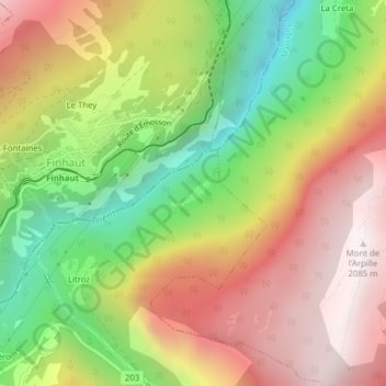
Name: Planajeur topographic map, elevation, terrain.
Location: Planajeur, Trient, Martigny, Valais/Wallis, 1929, Zwitserland (46.07064 6.97939 46.09064 6.99939)
Average elevation: 1,429 m
Minimum elevation: 746 m
Maximum elevation: 2,074 m