
Thank you for supporting this site ❤️
Make a donation
Make a donation
Chilly topographic map
Click on the map to display elevation.
Thank you for supporting this site ❤️
Make a donation
Make a donation
About this map
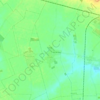
Name: Chilly topographic map, elevation, terrain.
Average elevation: 89 m
Minimum elevation: 76 m
Maximum elevation: 105 m
Thank you for supporting this site ❤️
Make a donation
Make a donation
Other topographic maps
Click on a map to view its topography, its elevation and its terrain.
La Boisselle
France > Hauts-de-France > Somme > Ovillers-la-Boisselle > La Boisselle
Average elevation: 109 m
Thank you for supporting this site ❤️
Make a donation
Make a donation
Beaumont-Hamel Newfoundland Memorial Park
France > Hauts-de-France > Somme > Beaumont-Hamel
Average elevation: 127 m