
Melekote topographic map
Click on the map to display elevation.
About this map
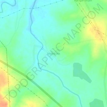
Name: Melekote topographic map, elevation, terrain.
Location: Melekote, Sira taluk, Tumakuru District, Karnataka, India (13.81253 76.76400 13.85253 76.80400)
Average elevation: 614 m
Minimum elevation: 600 m
Maximum elevation: 643 m