
Thank you for supporting this site ❤️
Make a donation
Make a donation
汤河 topographic map
Click on the map to display elevation.
Thank you for supporting this site ❤️
Make a donation
Make a donation
About this map
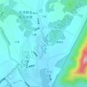
Name: 汤河 topographic map, elevation, terrain.
Location: 汤河, Bantang, Chaohu City, Hefei, Anhui, 238000, China (31.66325 117.91202 31.67313 117.91438)
Average elevation: 52 m
Minimum elevation: 11 m
Maximum elevation: 355 m
Thank you for supporting this site ❤️
Make a donation
Make a donation