
Le Moléson topographic map
Interactive map
Click on the map to display elevation.
About this map
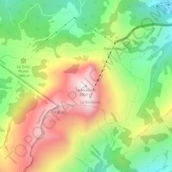
Name: Le Moléson topographic map, elevation, terrain.
Average elevation: 1,503 m
Minimum elevation: 1,115 m
Maximum elevation: 1,976 m
Other topographic maps
Click on a map to view its topography, its elevation and its terrain.
Château de Gruyères
Château de Gruyères, Chemin de ronde, Gruyère, District de la Gruyère, Fribourg, 1663, Suisse
Average elevation: 748 m