
Manunggal topographic map
Interactive map
Click on the map to display elevation.
About this map
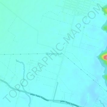
Name: Manunggal topographic map, elevation, terrain.
Location: Manunggal, Luwu Utara, South Sulawesi, Indonesia (-2.56563 120.83425 -2.52563 120.87425)
Average elevation: 18 m
Minimum elevation: 6 m
Maximum elevation: 130 m