
Obersteinebach topographic map
Interactive map
Click on the map to display elevation.
About this map
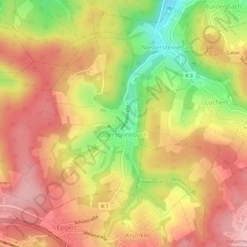
Name: Obersteinebach topographic map, elevation, terrain.
Average elevation: 299 m
Minimum elevation: 206 m
Maximum elevation: 359 m
Other topographic maps
Click on a map to view its topography, its elevation and its terrain.
Betzdorf
Allemagne > Rhénanie-Palatinat > Landkreis Altenkirchen
Betzdorf, Betzdorf-Gebhardshain, Landkreis Altenkirchen, Rhénanie-Palatinat, 57518, Allemagne
Average elevation: 277 m