
Thank you for supporting this site ❤️
Make a donation
Make a donation
Santana topographic map
Click on the map to display elevation.
Thank you for supporting this site ❤️
Make a donation
Make a donation
About this map
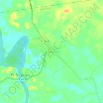
Name: Santana topographic map, elevation, terrain.
Location: Santana, Puerto Asís, Putumayo, RAP Amazonía, Colombia (0.57359 -76.58612 0.61359 -76.54612)
Average elevation: 264 m
Minimum elevation: 251 m
Maximum elevation: 283 m
Thank you for supporting this site ❤️
Make a donation
Make a donation