
Thank you for supporting this site ❤️
Make a donation
Make a donation
Bellevue topographic map
Click on the map to display elevation.
Thank you for supporting this site ❤️
Make a donation
Make a donation
About this map
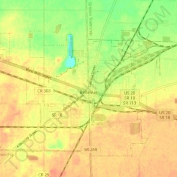
Name: Bellevue topographic map, elevation, terrain.
Location: Bellevue, Sandusky County, Ohio, United States (41.25308 -82.88853 41.29572 -82.79064)
Average elevation: 232 m
Minimum elevation: 207 m
Maximum elevation: 245 m
Thank you for supporting this site ❤️
Make a donation
Make a donation