
Dukono topographic map
Click on the map to display elevation.
About this map
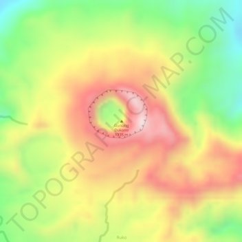
Name: Dukono topographic map, elevation, terrain.
Location: Dukono, Halmahera Utara, North Maluku, Maluku, Indonesia (1.69890 127.87907 1.69900 127.87917)
Average elevation: 1,033 m
Minimum elevation: 811 m
Maximum elevation: 1,222 m