
Wann topographic map
Interactive map
Click on the map to display elevation.
About this map
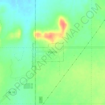
Name: Wann topographic map, elevation, terrain.
Location: Wann, Nowata County, Oklahoma, États-Unis d'Amérique (36.91293 -95.80995 36.91759 -95.80086)
Average elevation: 261 m
Minimum elevation: 240 m
Maximum elevation: 295 m