
Sungai Jengka topographic map
Interactive map
Click on the map to display elevation.
About this map
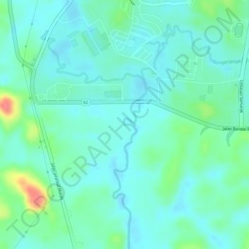
Name: Sungai Jengka topographic map, elevation, terrain.
Location: Sungai Jengka, Temerloh, Pahang, Malaysia (3.73047 102.53712 3.75077 102.54852)
Average elevation: 68 m
Minimum elevation: 50 m
Maximum elevation: 119 m
Other topographic maps
Click on a map to view its topography, its elevation and its terrain.
Kampung Pengkalan Manggis
Kampung Pengkalan Manggis, Temerloh, Pahang, 28000, Malaysia
Average elevation: 38 m
Sungai Jengka
Sungai Jengka, Temerloh, Pahang, Malaysia
Average elevation: 73 m
Temerloh Recreational park
Temerloh Recreational park, Taman Permai Indah, Temerloh, Pahang, 28000, Malaysia
Average elevation: 38 m