
Sluis topographic map
Click on the map to display elevation.
About this map
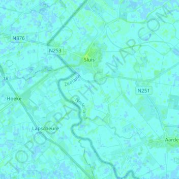
Name: Sluis topographic map, elevation, terrain.
Location: Sluis, Zeeland, Netherlands (51.25666 3.35838 51.33416 3.43688)
Average elevation: 1 m
Minimum elevation: -2 m
Maximum elevation: 7 m
Other topographic maps
Click on a map to view its topography, its elevation and its terrain.