
Escarpment topographic map
Click on the map to display elevation.
About this map
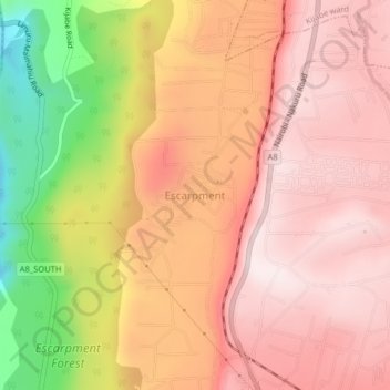
Name: Escarpment topographic map, elevation, terrain.
Location: Escarpment, Lari/Kirenya ward, Lari, Kiambu, 00221, Kenya (-1.03066 36.59806 -0.99066 36.63806)
Average elevation: 2,237 m
Minimum elevation: 1,861 m
Maximum elevation: 2,432 m