
Thank you for supporting this site ❤️
Make a donation
Make a donation
Matheny topographic map
Click on the map to display elevation.
Thank you for supporting this site ❤️
Make a donation
Make a donation
About this map
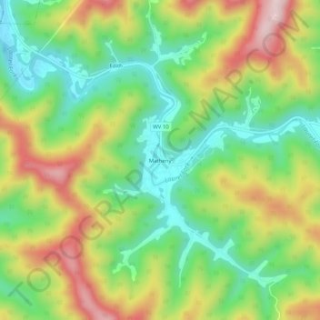
Name: Matheny topographic map, elevation, terrain.
Location: Matheny, Wyoming County, West Virginia, 24860, United States (37.64505 -81.62066 37.68505 -81.58066)
Average elevation: 539 m
Minimum elevation: 381 m
Maximum elevation: 762 m
Thank you for supporting this site ❤️
Make a donation
Make a donation
Other topographic maps
Click on a map to view its topography, its elevation and its terrain.