
Lourdes topographic map
Interactive map
Click on the map to display elevation.
About this map
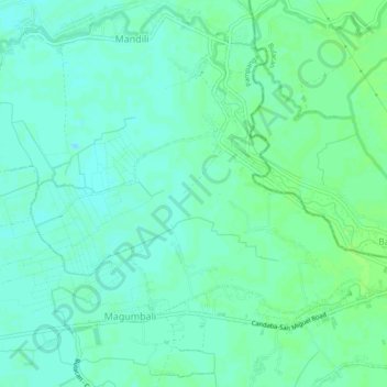
Name: Lourdes topographic map, elevation, terrain.
Location: Lourdes, Candaba, Pampanga, Central Luzon, Philippines (15.13494 120.89618 15.16422 120.94373)
Average elevation: 10 m
Minimum elevation: 5 m
Maximum elevation: 14 m
Other topographic maps
Click on a map to view its topography, its elevation and its terrain.
Pansinao
Philippines > Pampanga > Candaba
Pansinao, Candaba, Pampanga, Central Luzon, 2013, Philippines
Average elevation: 8 m
Salapungan
Philippines > Pampanga > Candaba
Salapungan, Candaba, Pampanga, Central Luzon, Philippines
Average elevation: 11 m
Bahay Pare
Philippines > Pampanga > Candaba > Bahay Pare
Bahay Pare, Candaba, Pampanga, Central Luzon, 2014, Philippines
Average elevation: 10 m