
Thank you for supporting this site ❤️
Make a donation
Make a donation
Marengo topographic map
Click on the map to display elevation.
Thank you for supporting this site ❤️
Make a donation
Make a donation
About this map
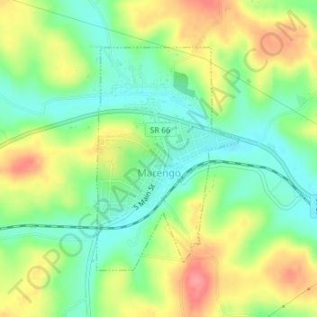
Name: Marengo topographic map, elevation, terrain.
Location: Marengo, Crawford County, Indiana, United States (38.36090 -86.35040 38.37989 -86.33483)
Average elevation: 206 m
Minimum elevation: 170 m
Maximum elevation: 254 m
Thank you for supporting this site ❤️
Make a donation
Make a donation
Other topographic maps
Click on a map to view its topography, its elevation and its terrain.