
Hellegat topographic map
Interactive map
Click on the map to display elevation.
About this map
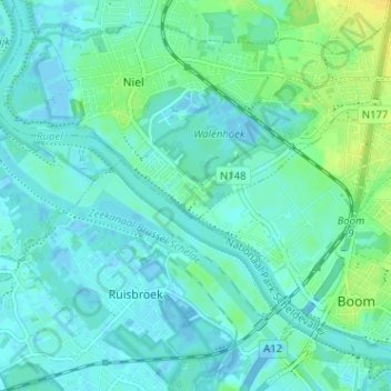
Name: Hellegat topographic map, elevation, terrain.
Location: Hellegat, Niel, Antwerpen, Vlaanderen, 2845, België (51.07825 4.32038 51.11825 4.36038)
Average elevation: 5 m
Minimum elevation: -14 m
Maximum elevation: 20 m