
Trejo topographic map
Interactive map
Click on the map to display elevation.
About this map
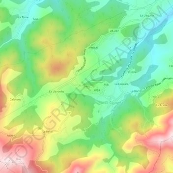
Name: Trejo topographic map, elevation, terrain.
Location: Trejo, La Callezuela, Illas, Asturias, 33411, España (43.47916 -5.99749 43.51916 -5.95749)
Average elevation: 264 m
Minimum elevation: 77 m
Maximum elevation: 541 m