
Thank you for supporting this site ❤️
Make a donation
Make a donation
Shibleys Point topographic map
Click on the map to display elevation.
Thank you for supporting this site ❤️
Make a donation
Make a donation
About this map
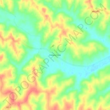
Name: Shibleys Point topographic map, elevation, terrain.
Location: Shibleys Point, Adair County, Missouri, United States (40.29336 -92.78103 40.33336 -92.74103)
Average elevation: 269 m
Minimum elevation: 239 m
Maximum elevation: 300 m
Thank you for supporting this site ❤️
Make a donation
Make a donation
Other topographic maps
Click on a map to view its topography, its elevation and its terrain.