
Thank you for supporting this site ❤️
Make a donation
Make a donation
Triesdorf (VGem) topographic map
Click on the map to display elevation.
Thank you for supporting this site ❤️
Make a donation
Make a donation
About this map
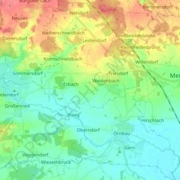
Name: Triesdorf (VGem) topographic map, elevation, terrain.
Location: Triesdorf (VGem), Landkreis Ansbach, Beieren, Duitsland (49.15158 10.59566 49.23838 10.69877)
Average elevation: 436 m
Minimum elevation: 413 m
Maximum elevation: 482 m
Thank you for supporting this site ❤️
Make a donation
Make a donation
Other topographic maps
Click on a map to view its topography, its elevation and its terrain.