
Kampong Luong topographic map
Interactive map
Click on the map to display elevation.
About this map
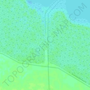
Name: Kampong Luong topographic map, elevation, terrain.
Location: Kampong Luong, Pursat, Cambodia (12.54430 104.18799 12.58430 104.22799)
Average elevation: 7 m
Minimum elevation: 2 m
Maximum elevation: 11 m
Other topographic maps
Click on a map to view its topography, its elevation and its terrain.