
Thank you for supporting this site ❤️
Make a donation
Make a donation
Cherry Creek topographic map
Click on the map to display elevation.
Thank you for supporting this site ❤️
Make a donation
Make a donation
About this map
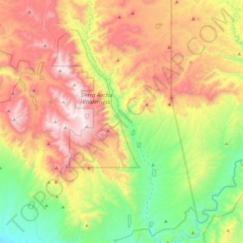
Name: Cherry Creek topographic map, elevation, terrain.
Location: Cherry Creek, Gila County, Arizona, United States (33.67191 -110.90841 33.96443 -110.79891)
Average elevation: 1,396 m
Minimum elevation: 659 m
Maximum elevation: 2,356 m
Thank you for supporting this site ❤️
Make a donation
Make a donation