
Corroy-le-Château topographic map
Interactive map
Click on the map to display elevation.
About this map
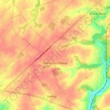
Name: Corroy-le-Château topographic map, elevation, terrain.
Location: Corroy-le-Château, Gembloers, Namen, Wallonië, België (50.52207 4.62528 50.55674 4.69872)
Average elevation: 158 m
Minimum elevation: 114 m
Maximum elevation: 177 m
Other topographic maps
Click on a map to view its topography, its elevation and its terrain.
Sauvenière
België > Namen > Namen > Gembloers
Sauvenière, Gembloers, Namen, Wallonië, België
Average elevation: 159 m