
Oberrüti topographic map
Interactive map
Click on the map to display elevation.
About this map
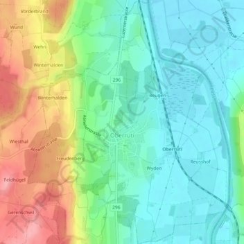
Name: Oberrüti topographic map, elevation, terrain.
Location: Oberrüti, Bezirk Muri, Argovie, 5647, Suisse (47.15315 8.37800 47.18390 8.41538)
Average elevation: 435 m
Minimum elevation: 395 m
Maximum elevation: 514 m