
Aston upon Trent CP topographic map
Interactive map
Click on the map to display elevation.
About this map
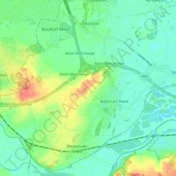
Name: Aston upon Trent CP topographic map, elevation, terrain.
Average elevation: 45 m
Minimum elevation: 28 m
Maximum elevation: 80 m
Other topographic maps
Click on a map to view its topography, its elevation and its terrain.
Ticknall CP
United Kingdom > England > South Derbyshire > Ticknall CP
Ticknall CP, South Derbyshire, Derbyshire, East Midlands, England, United Kingdom
Average elevation: 112 m