
Thank you for supporting this site ❤️
Make a donation
Make a donation
Batia topographic map
Click on the map to display elevation.
Thank you for supporting this site ❤️
Make a donation
Make a donation
About this map
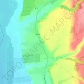
Name: Batia topographic map, elevation, terrain.
Location: Batia, Dobroteasa, Olt, 237146, Romania (44.72709 24.28813 44.76709 24.32813)
Average elevation: 188 m
Minimum elevation: 152 m
Maximum elevation: 249 m
Thank you for supporting this site ❤️
Make a donation
Make a donation