
Port Landry topographic map
Interactive map
Click on the map to display elevation.
About this map
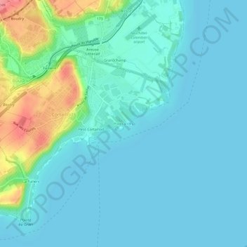
Name: Port Landry topographic map, elevation, terrain.
Location: Port Landry, Cortaillod, Neuchâtel, 2016, Suisse (46.92173 6.84041 46.96173 6.88041)
Average elevation: 438 m
Minimum elevation: 422 m
Maximum elevation: 512 m