
Tekuru topographic map
Click on the map to display elevation.
About this map
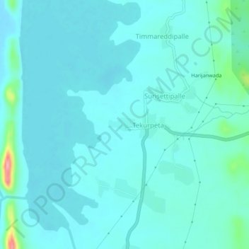
Name: Tekuru topographic map, elevation, terrain.
Location: Tekuru, Porumamilla, YSR, Andhra Pradesh, 516193, India (14.98163 79.01103 15.02163 79.05103)
Average elevation: 196 m
Minimum elevation: 181 m
Maximum elevation: 296 m