
Grövelsjön topographic map
Interactive map
Click on the map to display elevation.
About this map
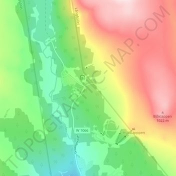
Name: Grövelsjön topographic map, elevation, terrain.
Location: Grövelsjön, Älvdalens kommun, Comté de Dalécarlie, Suède (62.07596 12.29485 62.11596 12.33485)
Average elevation: 857 m
Minimum elevation: 707 m
Maximum elevation: 1,056 m