
Klause topographic map
Interactive map
Click on the map to display elevation.
About this map
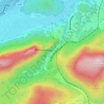
Name: Klause topographic map, elevation, terrain.
Location: Klause, Reutte, Bezirk Reutte, Tirol, Österreich (47.46299 10.71711 47.46484 10.72027)
Average elevation: 1,016 m
Minimum elevation: 846 m
Maximum elevation: 1,297 m