
Thank you for supporting this site ❤️
Make a donation
Make a donation
Isla Largo Remo topographic map
Click on the map to display elevation.
Thank you for supporting this site ❤️
Make a donation
Make a donation
About this map
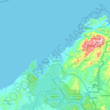
Name: Isla Largo Remo topographic map, elevation, terrain.
Location: Isla Largo Remo, Cristóbal, Distrito de Colón, Colón, Panamá (9.07702 -80.16251 9.71702 -79.52251)
Average elevation: 65 m
Minimum elevation: -1 m
Maximum elevation: 961 m
Thank you for supporting this site ❤️
Make a donation
Make a donation