
Asing topographic map
Click on the map to display elevation.
About this map
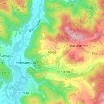
Name: Asing topographic map, elevation, terrain.
Location: Asing, Regenstauf, Landkreis Regensburg, Bavaria, Germany (49.13886 12.14877 49.17886 12.18877)
Average elevation: 428 m
Minimum elevation: 328 m
Maximum elevation: 568 m