
Luyang River topographic map
Interactive map
Click on the map to display elevation.
About this map
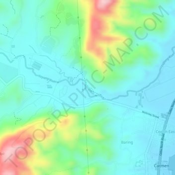
Name: Luyang River topographic map, elevation, terrain.
Average elevation: 58 m
Minimum elevation: -2 m
Maximum elevation: 207 m
Other topographic maps
Click on a map to view its topography, its elevation and its terrain.
Caurasan
Philippines > Cebu > Carmen
Caurasan, Carmen, Cebu, Central Visayas, Philippines
Average elevation: 531 m