
Colaya topographic map
Click on the map to display elevation.
About this map
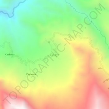
Name: Colaya topographic map, elevation, terrain.
Location: Colaya, Salas, Lambayeque, Perú (-6.10557 -79.52696 -6.06557 -79.48696)
Average elevation: 1,438 m
Minimum elevation: 806 m
Maximum elevation: 2,205 m
Other topographic maps
Click on a map to view its topography, its elevation and its terrain.