
Leoncio Prado topographic map
Interactive map
Click on the map to display elevation.
About this map
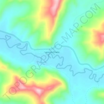
Name: Leoncio Prado topographic map, elevation, terrain.
Location: Leoncio Prado, Tingo de Ponaza, Picota, San Martín, Pérou (-7.01182 -76.25044 -6.97182 -76.21044)
Average elevation: 315 m
Minimum elevation: 242 m
Maximum elevation: 495 m