
Thank you for supporting this site ❤️
Make a donation
Make a donation
Castaños topographic map
Click on the map to display elevation.
Thank you for supporting this site ❤️
Make a donation
Make a donation
About this map
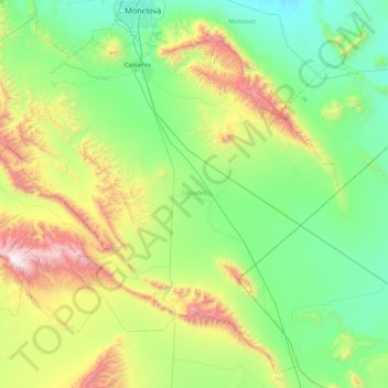
Name: Castaños topographic map, elevation, terrain.
Location: Castaños, Coahuila, Mexiko (26.18521 -101.83814 26.89212 -100.98377)
Average elevation: 1,052 m
Minimum elevation: 528 m
Maximum elevation: 2,619 m
Thank you for supporting this site ❤️
Make a donation
Make a donation
Other topographic maps
Click on a map to view its topography, its elevation and its terrain.