
Thank you for supporting this site ❤️
Make a donation
Make a donation
Geiselwind topographic map
Click on the map to display elevation.
Thank you for supporting this site ❤️
Make a donation
Make a donation
About this map
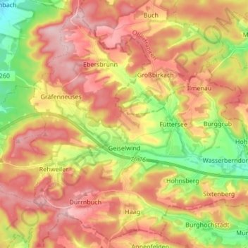
Name: Geiselwind topographic map, elevation, terrain.
Location: Geiselwind, Landkreis Kitzingen, Beieren, Duitsland (49.74054 10.41976 49.82326 10.55526)
Average elevation: 396 m
Minimum elevation: 290 m
Maximum elevation: 482 m
Thank you for supporting this site ❤️
Make a donation
Make a donation
Other topographic maps
Click on a map to view its topography, its elevation and its terrain.