
Subsoil Water topographic map
Click on the map to display elevation.
About this map
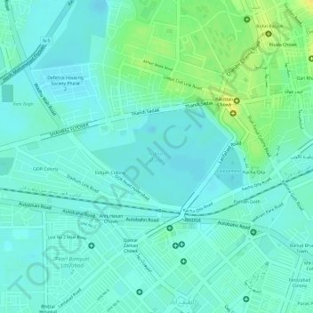
Name: Subsoil Water topographic map, elevation, terrain.
Location: Subsoil Water, Latifabad, Hyderabad, Sindh, Pakistan (25.37602 68.34781 25.38445 68.36105)
Average elevation: 23 m
Minimum elevation: 15 m
Maximum elevation: 40 m