
Thank you for supporting this site ❤️
Make a donation
Make a donation
Taylor Ferry topographic map
Click on the map to display elevation.
Thank you for supporting this site ❤️
Make a donation
Make a donation
About this map
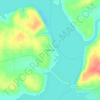
Name: Taylor Ferry topographic map, elevation, terrain.
Location: Taylor Ferry, Wagoner County, Oklahoma, United States (35.92427 -95.29913 35.96427 -95.25913)
Average elevation: 185 m
Minimum elevation: 161 m
Maximum elevation: 240 m
Thank you for supporting this site ❤️
Make a donation
Make a donation
Other topographic maps
Click on a map to view its topography, its elevation and its terrain.