
Polenplein topographic map
Interactive map
Click on the map to display elevation.
About this map
Name: Polenplein topographic map, elevation, terrain.
Average elevation: 14 m
Minimum elevation: 9 m
Maximum elevation: 21 m
Other topographic maps
Click on a map to view its topography, its elevation and its terrain.
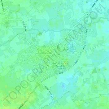
Ruiselede
België > West-Vlaanderen > Tielt > Ruiselede
Ruiselede, Tielt, West-Vlaanderen, Vlaanderen, 8755, België
Average elevation: 17 m