
Ghattu topographic map
Click on the map to display elevation.
About this map
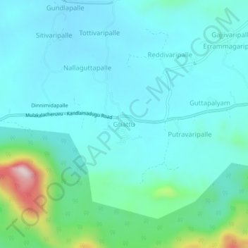
Name: Ghattu topographic map, elevation, terrain.
Location: Ghattu, B. Kothakota, Annamayya, Andhra Pradesh, India (13.64074 78.31337 13.68074 78.35337)
Average elevation: 709 m
Minimum elevation: 641 m
Maximum elevation: 1,047 m