
Gilbert Island topographic map
Click on the map to display elevation.
About this map
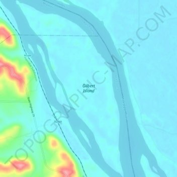
Name: Gilbert Island topographic map, elevation, terrain.
Location: Gilbert Island, Pike County, Missouri, United States (39.56652 -91.20578 39.60878 -91.17239)
Average elevation: 150 m
Minimum elevation: 136 m
Maximum elevation: 246 m
Other topographic maps
Click on a map to view its topography, its elevation and its terrain.