
Hagan topographic map
Click on the map to display elevation.
About this map
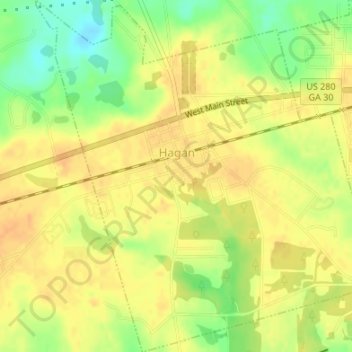
Name: Hagan topographic map, elevation, terrain.
Location: Hagan, Evans County, Georgia, 30417, United States (32.13986 -81.94723 32.16834 -81.91504)
Average elevation: 53 m
Minimum elevation: 31 m
Maximum elevation: 63 m